Description
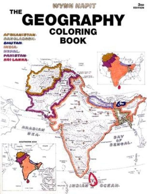
This unique educational tool introduces learners to the countries of the world and the states of the United States. Through active participation, coloring the maps, users gain a broad understanding of the material–and retain that understanding. Each section begins with a plate containing a political map, a physical map, and regional maps. World Thematic Maps consist of eleven global maps covering climate, rainfall, temperatures, prevailing winds, ocean currents, vegetation, land use, population, racial distribution, languages, and religions–presenting a «global» view of human activity. Flags and Review of Nations groups flags of the world according to continents, with the illustration of the flag placed close to the country of origin. For children of all ages–and their parents–who could benefit from a colorful “crash course” –or “refresher” –in geography, and an enjoyable and informative guide to a greater understanding of the world around them.
Pearson
Science
Earth Sciences
Edition: Geography, Games & Activities
Keywords: Earth Sciences


